Borah
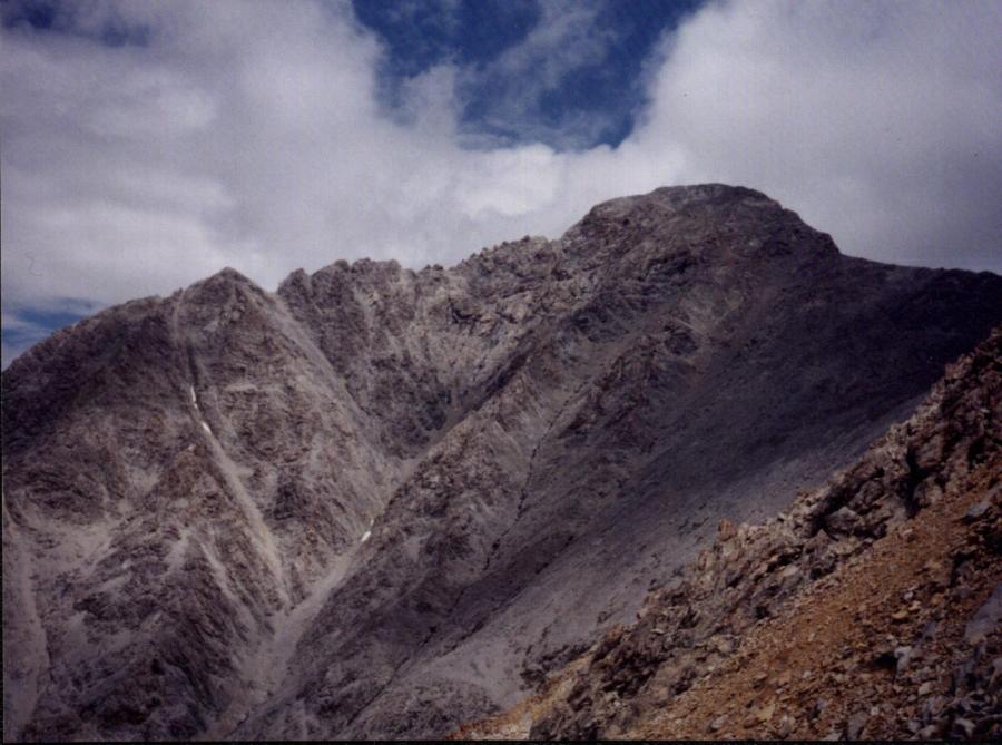 Borah from Chicken-out
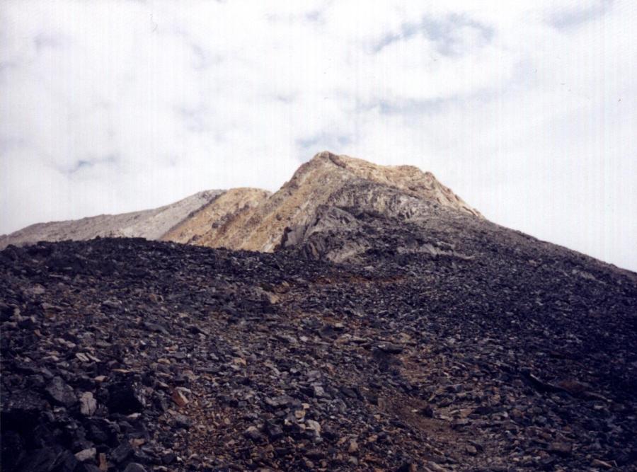 The trail leading to Chicken-out Ridge
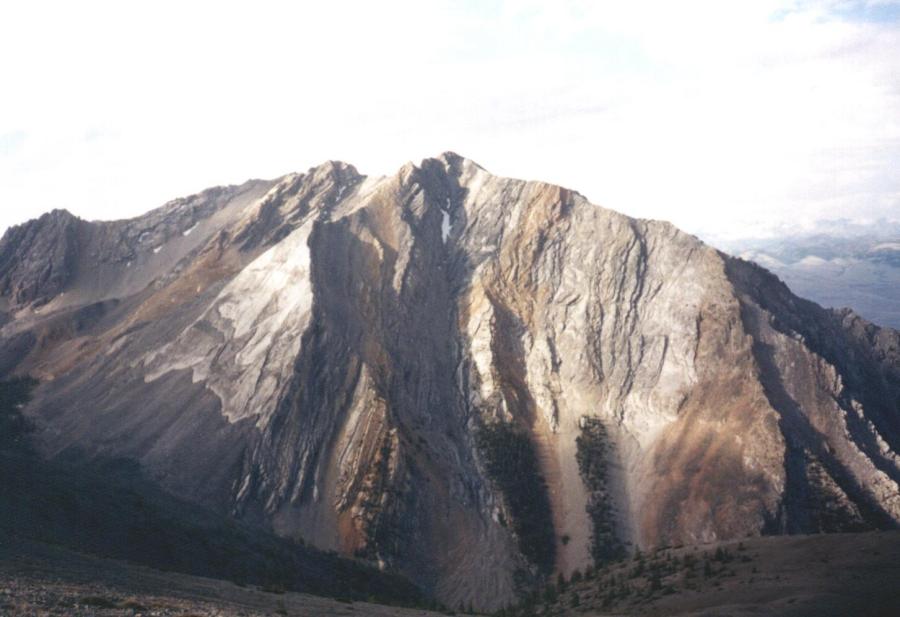 Peak 11,308 rising above Cedar Canyon
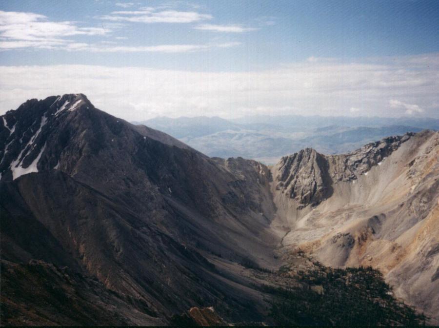 Mount Idaho at the head of Cedar Canyon
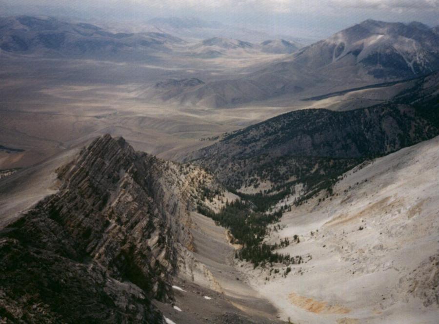 Looking west from Chicken-out into the large basin and the tributary of Rock Creek. The route is along the top of the cliff, on the southern side.
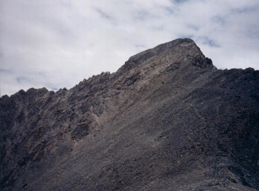 Borah from the saddle.
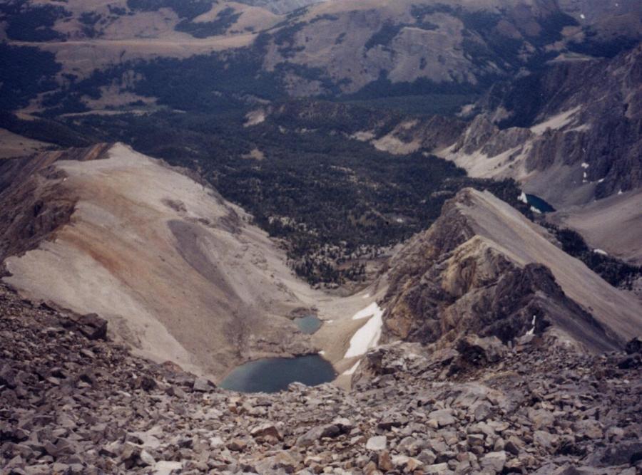 From the saddle looking east into the large lake basin.
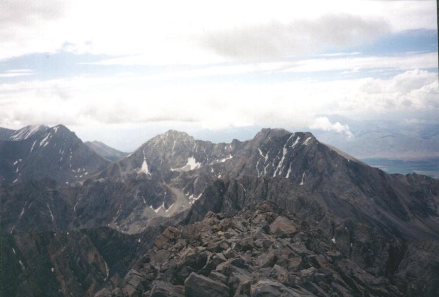 Church, Leatherman, White Cap Peak, Peak 11,967, and Mount Idaho- the crest of the Lost River range looking south from the top of Borah
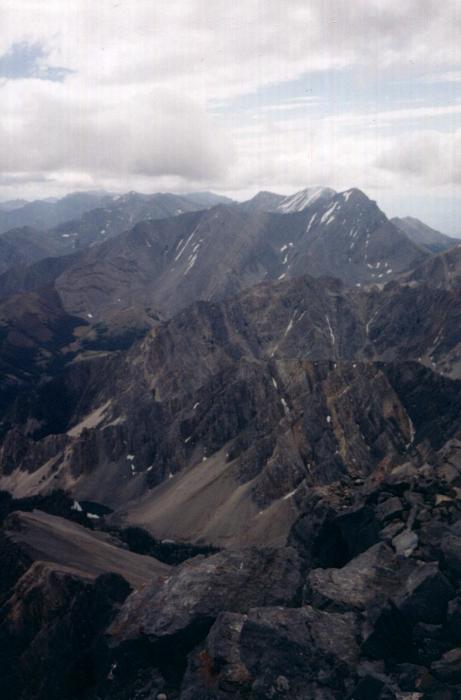 The Lost River Range looking south-southwest from Borah. Donaldson, Church, and Leatherman
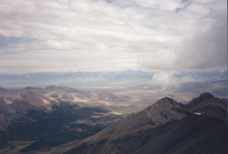 The Lemhi Mountains looking east from Borah.
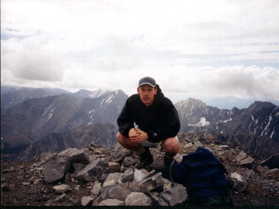 On top of Borah.
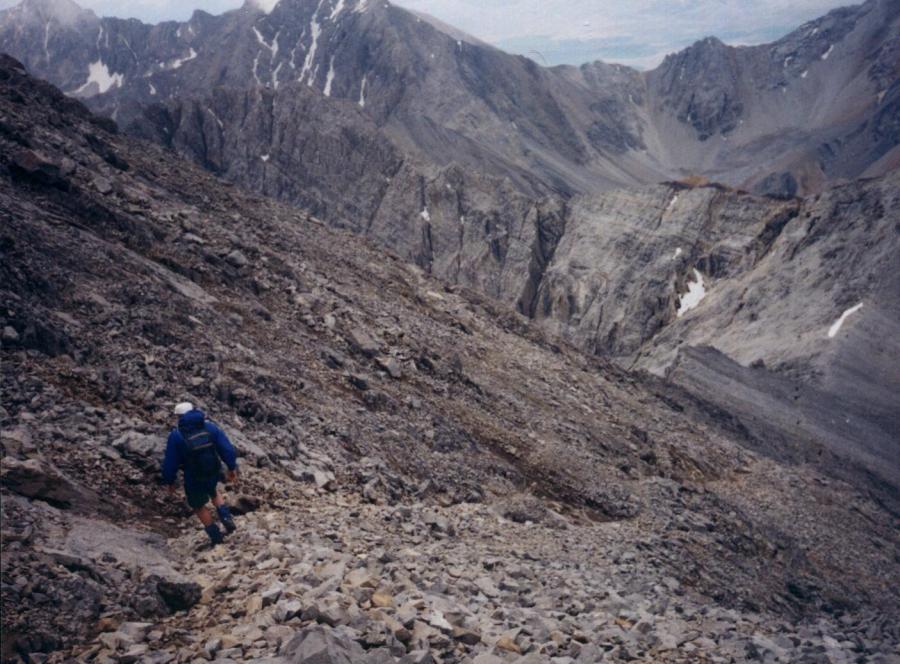 Descending to Chicken-out
Borah Peak sits at 12,665 feet, the tallest peak in Idaho and the tallest in the Lost River range. The southwest ridge route is a class 3 and the most often climbed, while the north face is a snow climb and the east face is a YDS 5.2.
Southwest Ridge
The southwest route is 3.5 miles from the trailhead to the top and gains 5,200 feet in elevation. The signed and well-maintained trailhead turnoff is 20 miles north of Mackay on US-93, just south of the Doublespring Road. Turn east and proceed 2 miles and notice the scarp line caused from the 1983 earthquake.
From the trailhead, follow the well-defined path up the first sage-brush hill through the gully. At a point, you will take a sharp left-hand turn to cross the gully. The trail climbs out of the gully into a forested slope. The route climbs steeply through the trees until it breaks out of the distinct treeline and onto a rocky west-east ridge in which Borah now appears to the left. To the right is a double-peaked spur at 11,898 feet which is the infamous Chicken-out Ridge. Between the two peaks is a notch with a permanent snow slope. Here the route sidewinds up the ridge on talus rock along a beaten path until the route fades at 11,400 feet. To your left, as you've hiked along the ridge, is a long west-east cliff face that drops 800 feet into a large basin with a tributary to Rock Creek draining it. To the right is a talus field that slopes gradually down into Cedar Canyon. Beyond this canyon, looking south, is a large gray and orange mountain, Peak 11,308. At the head of Cedar Canyon is Peak 12,058 and to the left of 12,058 is Leatherman Peak, Idaho's second tallest peak at 12,228 feet.
As you approach Chicken-out Ridge, the trail disappears at 11,400 feet and muliple scrambling routes begin at 11,600 feet, some easier than others. At this point, take your time and don't hesitate to double back if one route becomes too exposed. It is best to stay as much as possible on top of the ridge rather than dropping too low. At the top of Chicken-out, at 11,898 feet, is a knife edge ridge, part of the main crest of the Lost River range which intersects the west-east ridge. Some points on the top of chicken-out will leave you feeling exposed. Use caution. It is best to downclimb the 20 feet from the top of Chicken-out Ridge to the snow-filled notch rather than attempting to drop below the snow on either side. Once across the snow-filled notch, the trail becomes defined again and the path winds west of the 2nd double peak (as seen when emerging from the treeline) and then levels out onto a small saddle in a short distance. Peer east into a large lake basin.
From the saddle follow the path up the last 800 feet toward the summit. The trail is steep and some may find it a little rough-going because of the lack of traction. The last 50 feet of the ascent will make a sharp right-hand turn from an overlook up to the top.
Once on top, take time to peer north to toward Challis, southwest toward Hyndman and the Pioneers, west toward Castle Peak and the White Clouds, east toward the Lemhis, and then south toward Leatherman and the crest of the Lost River Range. Your descent should start before 2:00pm in case of thunder storms.